
Trace an Erie Street Directory
An Erie street directory is most useful when the address stays tied to the parcel, county, and date inspected. Erie crosses Boulder and Weld Counties, so the Town name alone does not tell you which assessor or recorder holds the next record. Begin with the Town's GIS OpenData service. Address Points locate a street number, while Parcels supply the legal and tax polygon. Preserve the printed address even when the map supplies a cleaner modern form.
- Run the address through the Town parcel layer. Save the parcel key, `FULL_ADDRE`, `LOCCITY`, subdivision, lot, block, legal description, and source date.
- Route the parcel to the right county. Use the Boulder County Property Search for the Boulder side and the Weld County Property Portal for the Weld side.
- Read the owner and mailing fields separately from the situs address. A mailing line can point outside Erie, and it is not a complete household roster.
- Search the recorder by current grantee, legal description, subdivision, lot, block, and date. Then work backward through the grantor names.
- For a known person, use the Colorado voter match and historical sources as separate checks. An address search can suggest a trail, but each record needs its own identity and date test.
That order keeps a map clue from becoming an unsupported claim. It also makes a failed search useful: the missing county, old street spelling, protected address, or absent historical index becomes part of the research record.
Erie Records by Street
Several Erie record sets can be searched from an address, but they do not describe the same person. The Town GIS supplies map and parcel context. County assessors supply ownership and tax clues. Recording offices preserve instruments and party names. Permit files show a project history, while voter records can match a known registration under Colorado's election rules.
| Record Set | Custodian | Address-Keyed Clue | Access Channel |
|---|---|---|---|
| Parcel and address layer | Town of Erie GIS | Parcel key, situs fields, mailing fields, legal description, subdivision, lot, and block | Public map, Query, Identify, selection, and narrowed export |
| Property roll | Boulder Assessor or Weld Assessor | Owner, account or parcel, situs and mailing clues, values, land, buildings, and sales where the portal exposes them | Online search, county phone or email, counter, and data products |
| Deeds, liens, plats, and related instruments | Boulder Recording or Weld EagleWeb | Grantor, grantee, document type, recorded date, reception information, and legal description | Online index, image or copy route, office, mail, drop box, email, or counter |
| Permits and inspections | Erie eTRAKiT and Building Division | Project address, applicant, owner or contractor fields, permit status, inspections, and public attachments when available | Current eTRAKiT search or Town building-record request |
| Voter registration and history | Colorado Secretary of State and county elections offices | Known-person match, status, precinct, district, and formal-file address fields subject to exclusions | Four-field lookup, county or state data request, phone, and correction route |
The parcel or account key is the bridge between a map and a deed. The street name is only a starting label. Keep the Town's `LOCCITY`, the county, the legal description, and both address families in your notes so a mailing city does not silently replace the property location.
Note: A record keyed to an address can show an owner, party, applicant, or voter match without proving every person connected to the property.
Erie Assessor Fields by Address
The county assessor search is the next stop after a GIS click. Boulder and Weld use different screens, and neither captured interface promises that every field is required. Search the county named by the parcel or legal description, then retain the exact account or parcel key from the result.
| Boulder search choices | Address, Owner Name, Account Number, Parcel Number, Street Name, Subdivision, and Section-Township-Range. |
|---|---|
| Boulder map tools | Polygon, rectangle, circle, or line selection; Coordinate Tool; Locate; Print All Reports; and CSV Export. The S-T-R example is `5-2N-69W`, with no leading zero required for the section. |
| Weld search choices | Account number such as `R0355194`, Owner Name, Address, Subdivision, Parcel Number such as `080331000038`, Section Township Range such as `31 6 65`, API such as `05-123-99999`, and Map Search. |
| Meaning of the result | Owner, mailing address, situs address, parcel or account, legal description, land, building, value, sales, permit, exemption, and map clues vary by portal. They are ownership and property clues, not a complete list of people at the address. |
Boulder data downloads refresh at 4 a.m. daily and can duplicate owner names or addresses, so preserve the raw account or parcel before deduplicating. Weld's captured search choices do not expose a ZIP criterion. A street-wide search therefore works better from street name, parcel, subdivision, or map selection than from an assumed ZIP filter.
Browse Erie Streets in GIS
The Town's OpenData MapServer lists Address Pts, Centerlines, Parcels, Subdivisions, the Erie Address Grid, Town Boundary, annexations and tax districts, zoning, schools, parks, and Voting Precincts. Its public service supports Query, Identify, Export, GeoJSON or PBF output, distance tools, and selection. The practical flow is address point to parcel polygon to county assessor to recorder index.
Use a street segment or map extent before exporting. The service reports a maximum record count of 20,000 and a selection limit of 2,000. Address Pts and Parcels are related but not identical. A corner parcel can touch more than one street, a multi-unit parcel can have several address points, and a postal city can differ from `LOCCITY`. Zoning, precinct, annexation, and school layers add geographic context, not household names.
Street search tip. Select a narrow line or area, save the parcel keys, and inspect each result before using a county search. A raw export can repeat mailing rows or omit parcels beyond the service limit.
Erie Permit Records by Address
Erie eTRAKiT adds a project timeline to address research. Its public modules cover permits, projects, contractors, properties, inspections, licensing, violations, and map or address location. The permit search presents Search By, Search Operator, Search Value, an optional Map control, and a Search action. Exact dynamic dropdown choices were not exposed in the accessible page, so use the live form rather than guessing an option.
Permit results can identify an applicant, owner, contractor, project address, permit type or status, inspection event, and public attachment when that item is available. The applicant is not automatically the owner or a resident. Public-account instructions state that account fields are required, and linked attachments or results can be limited when the logged-in contact does not match the exact name, address, or email on a record.
The Town building-record request route can cover plot plans, improvement location certificates, permit cards, Certificates of Occupancy, soils reports, receipts, foundation or structural records, and engineered documents. The Town Clerk routes the request, usually within three business days and sometimes seven working days. Copyright can make a document view-only, and fees can reflect staff time, copies, or map production. The Building Division lists 645 Holbrook St., 303-926-2780, and building@erieco.gov for the public office route. The Town Records hub routes non-indexed files to a Colorado Open Records Act request; give the date range, address, record type, and department.
The official Erie building-record request page shows the request path and limits used for this street directory.
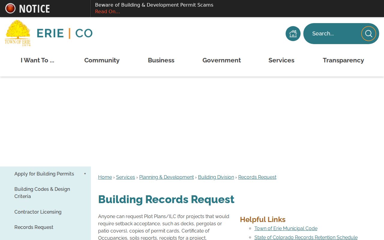
The request page is useful when the current eTRAKiT view stops at a permit number or a restricted attachment. A record date and project address make a narrow follow-up easier to route.
Note: A permit can date construction or an inspection event, but it cannot establish a complete history of people connected to the address.
Erie Deeds Along a Street
Recorded-document indexes are the ownership-history layer. Boulder County Public Search covers county records dating to 1860 according to county recording guidance. Its Real Estate Records search accepts a term for grantor, grantee, subdivision, document type, or document number, with recorded-date ranges and Index Only or Index and Full Text OCR choices.
The Boulder Public Search view makes the county-side starting point visible for an Erie street directory.
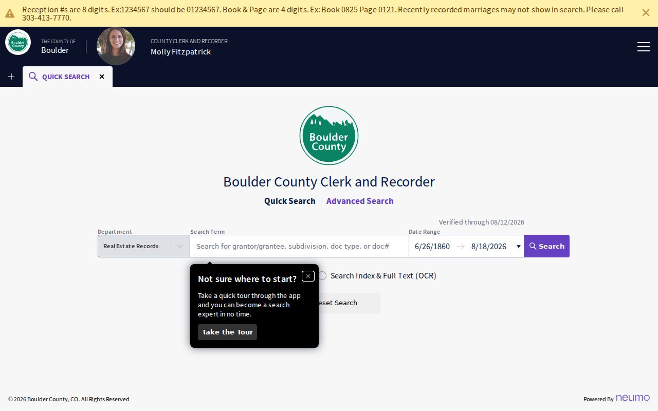
Free watermarked images can be viewed, downloaded, or printed when available. Non-watermarked or certified copies follow the county's copy route. Boulder Recording Division access includes 1750 33rd St., Suite 201, Boulder, Monday through Thursday from 7:30 to 5, closed Friday, 303-413-7770, recording@bouldercounty.gov, office service, drop boxes, mail, and email.
On the Weld side, EagleWeb states that recorded instruments begin January 1, 1865. Search fields include Grantor, Grantee, three-field Grantor/Grantee, Document Type, Reception Number, Start Date, End Date, Subdivision, Block, and Lot. A lot range such as `12:30`, wildcard `*`, and linked-record searches can help when an address has changed.
The Weld EagleWeb search view shows the other county route that an Erie street directory may require.
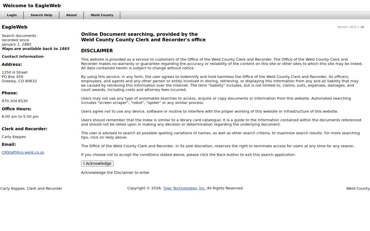
Weld describes EagleWeb as a catalog-style index rather than the underlying instrument. The Weld Clerk and Recorder recording route lists 1250 H St., Greeley, 970-304-6530, and crstaff@weld.gov; use the office when image or payment behavior is unclear. Search the current owner as grantee, take the seller as grantor, and repeat with the legal description. A deed shows transaction parties and property terms, not every person at the address.
Erie Voter Search Is Person-Specific
The Colorado Secretary of State's Find My Voter Registration tool is not a public street-roster button. It requires first name, last name, ZIP, and birthday in MM/DD/YYYY format. A known person can try a prior ZIP after a move, but a no-match can reflect spelling, county-line custody, recent data, preregistration, or confidential status.
The formal election-file route is different. Boulder County's Data Access page describes monthly SCORE reports and a Master Voter History report. Documented fields can include voter ID, name, registration date, phone, residential and mailing address, status, gender, birth year, precinct, districts, election date, voting method, and party where the report includes it. Protected or confidential voters, preregistered records, SSNs, driver or state ID numbers, signatures, email addresses, and ballot choices are excluded or restricted.
For the Boulder portion of Erie, elections access is at 1750 33rd St., Suite 200, Boulder, 303-413-7740, vote@bouldercounty.gov. For the Weld portion, use the Weld Clerk and Recorder elections office at 1250 H St., Greeley, 970-304-6525. County request forms, fees, delivery, and permitted-use statements control any formal extract. A street directory should present the lookup as a known-person check, not a bulk list.
Old Erie Address Clues
Erie's address story begins with an 1871 plat and 1874 incorporation, then expands through Old Town, later subdivisions, annexations, and the Erie Address Grid. Early street names such as Briggs, Holbrook, Pierce, Moffat, Cheesman, and Kattell or Kattel can be useful search terms when a number does not carry across a historical source. The Town's history page, GIS layers, and architectural surveys supply context for Old Town and rural addresses.
No official Town-wide renumbering or renaming year was verified in the research. Keep an old street label exactly as printed, then compare the plat, subdivision, legal description, nearby streets, current parcel geometry, newspaper wording, and the November 1900 Sanborn catalog item. The historical volumes and newspaper runs are described in the Erie city directory collections, while modern parcel work belongs to the current street chain.
Note: A postal city or current ZIP can be a later label, so an old Erie address should be preserved before it is normalized.
Erie Street Directory Terms
Four terms keep an address search precise. They describe record keys, not proof that a person lived at a location.
- Parcel
- A mapped legal or tax unit with a parcel or account key. The Town layer also carries geometry, subdivision, lot, block, and legal-description fields.
- Situs address
- The physical property or building location. It differs from the owner's mailing address, which may point to another city or a care-of line.
- Plat
- A recorded map that establishes lots, streets, and subdivision relationships. It can bridge an old number to a legal description.
- Criss-cross directory
- A historical directory arranged by street and number rather than only by name. No complete Erie run was verified, so regional and neighboring-city searches need a source check.
Where Erie Street Directory Stops
An Erie street directory cannot turn a property record into a household roster. The assessor and deed index may identify a recorded owner or party. A permit may name an applicant or contractor. A voter tool can match one known person. None of those sources supplies every household member, guest, non-owner resident, utility customer, or protected participant.
The federal Driver's Privacy Protection Act limits personal information from state motor-vehicle records, so a parcel search cannot be completed by assuming a DMV address is public. Colorado's Address Confidentiality Program can place an eligible survivor on a legal substitute address and mail-forwarding route. Confidential voters and other protected records may be absent or suppressed. If a record is wrong, contact the named assessor, clerk, recorder, elections office, or Town custodian with the account, case, or document number rather than copying the error into a new list.
Lawful use. Erie street and address records are for personal, lawful research. Repeated unwanted contact, threats, stalking, harassment, or intimidation can violate Colorado law, and a public record never authorizes harm.